Take a map with you
You should always take a map with you – because GPS just might not be available.
Traveling in this day and age requires the same amount of common sense as it did before the internet and invention of GPS. Younger generations may find great humor in having a paper Atlas Map folded up in our glove compartments, but one fact remained certain: either we always found our destination thanks to that map, or we found great comedy or frustration at trying to read those tiny blue and red lines to get to our destination.
Arrive Safely Each and Every Time with a Map
We want you to arrive safely at your destination, and we encourage our travelers to invest in and carry a map with them everywhere they go. Common sense dictates that our cell phones aren’t always 100% reliable and with the risk of cell phone batteries running low, the device being inconsistent, or GPS not being available, it’s always a great idea to have a map as a backup.
GPS is not always available in many parts of the country, especially in areas with mountains, dense forests, trees or underdeveloped lands.
Some destinations just weren’t meant to be located by GPS, and chances are, those are the destinations our more savvy travelers want to uncover. When you can fall back on a map in the event you do not have access to GPS, you stand a better chance at arriving at your destination safely and on time!
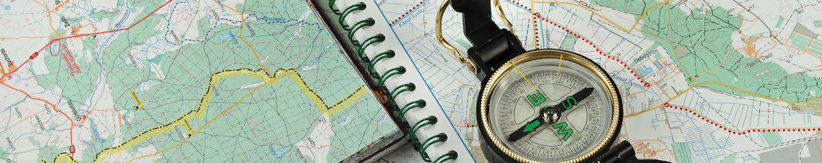
What Should I Look For When I Purchase a Map?
A map is an excellent tool that helps you learn about places, establish distances, and get you where you want to go! Every map should contain these Five Aspects:
- Title-this tells the user what you can learn from the map
- Orientation-shows which way is north, so the reader can relate the direction to his or her surroundings
- Scale-exhibits real-life distances between two points of interest, usually in inches
- Legend-explains what the colors, lines, and symbols stand for on a map
- Grid-identifies specific points of interest on a map, such as a historical site
The History of the Map
World travelers managed to travel from country to country prior to the use of today’s maps and long before GPS! While these brave travelers used the skies and astronomy to get them from place to place, eventually, cartologists wrote down modern day directions on what we now refer to as maps.
The oldest known “map” is a clay tablet, credited to the Babylonians from about 2300 B.C. It wasn’t until the 16th century that the first world maps began to appear.
The word “map” comes from the medieval Latin Mappa mundi. Mappa means napkin or cloth and mundi means the world. Eventually the term “map” came to replace the longer version and is still in use today. Not only is the term still in use today so are maps and if they were good enough for the Romans they are certainly good enough for those us who like to go roamin’ around the country! Sorry, forgive us, we couldn’t resist that one!
GTRV has been manufacturing Class B camper vans since 1994. We start with a full-size, mid-size or mini-size van, then ‘camperize’ it to create the highest quality Class B RV conversion built to your specifications (we can even add a place for your maps). So, whether you are traveling across town or across the country, you’ll enjoy traveling in comfort behind the wheel of a GTRV. With a GTRV camper van ‘Wherever you go, you’re always home!’ Contact us for more information.